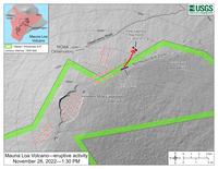
November 28th USGS flow map
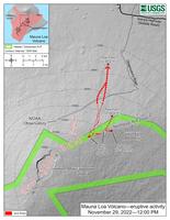
November 29th USGS flow map
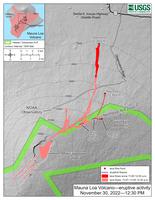
November 30th USGS flow map
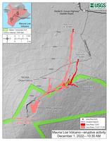
December 1st USGS flow map
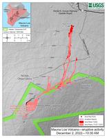
December 2nd USGS flow map
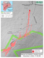
December 3rd USGS flow map
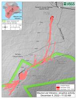
December 4th USGS flow map
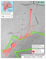
December 5th USGS flow map
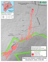
December 6th USGS flow map
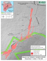
December 7th USGS flow map
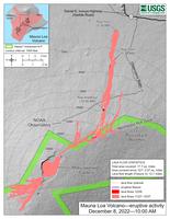
December 8th USGS flow map
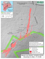
December 9th USGS flow map
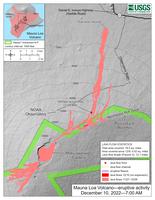
December 10th USGS flow map
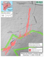
December 11th USGS flow map
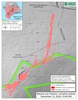
December 12th USGS flow map
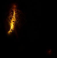
December 7th image of Mauna Loa and Kilauea from Landsat 9.
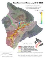
Historic Mauna Loa Flows Map
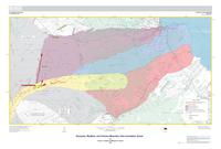
Innundation Zones Map
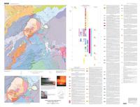
2003 Kilauea Summit Region Geologic Map
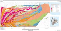
2017 Mauna Loa Northeast Flank Geologic Map
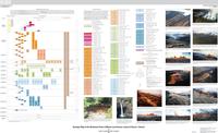
2017 Mauna loa Northeast Flank Geologic Map Key
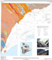
2019 Mauna Loa Central-Southeast Flank Geologic Map
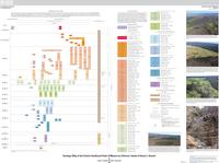
2019 Mauna Loa Central-Southeast Flank Geologic Map Key
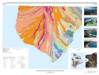
2020 Mauna Loa Southern Flank Geologic Map
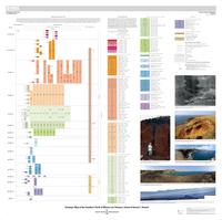
2020 Mauna Loa Southern Flank Geologic Map Key
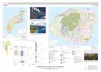
2021 Ni'ihau and Kaua'i Geologic Map
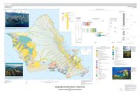
2021 O'ahu Geologic Map
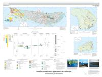
2021 Moloka'i, Lana'i, and Kaho'olawe Geologic Map
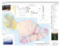
2021 Maui Geologic Map
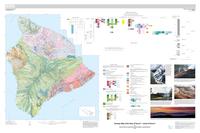
2021 Hawai'i Island Geologic Map
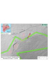
maps